The area under scrutiny: here are NeMeA Sistemi’s new tools for managing municipal green spaces
The services of NeMeA Sistemi help local authorities to manage mowing, monitor the growth of vegetation, check tree cover and identify areas requiring monitoring.
For a local authority, to keep a close eye on the condition of green spaces means bringing together reports, site inspections and technical data. The satellite observations They provide regular readings that can be compared over time, which is useful for examining large areas and focusing attention where variations or anomalies arise. Satellite images do not replace on-site inspections; rather, they offer useful information for setting inspection priorities and investigating situations that warrant attention.
The service focuses on three complementary areas: the identification and assessment of areas subject to mowing, the management of maintenance work on green spaces and monitoring of forests and tree cover. In all cases, comparing data collected at different times makes it possible to identify changes and turn them into practical guidance for the administration:
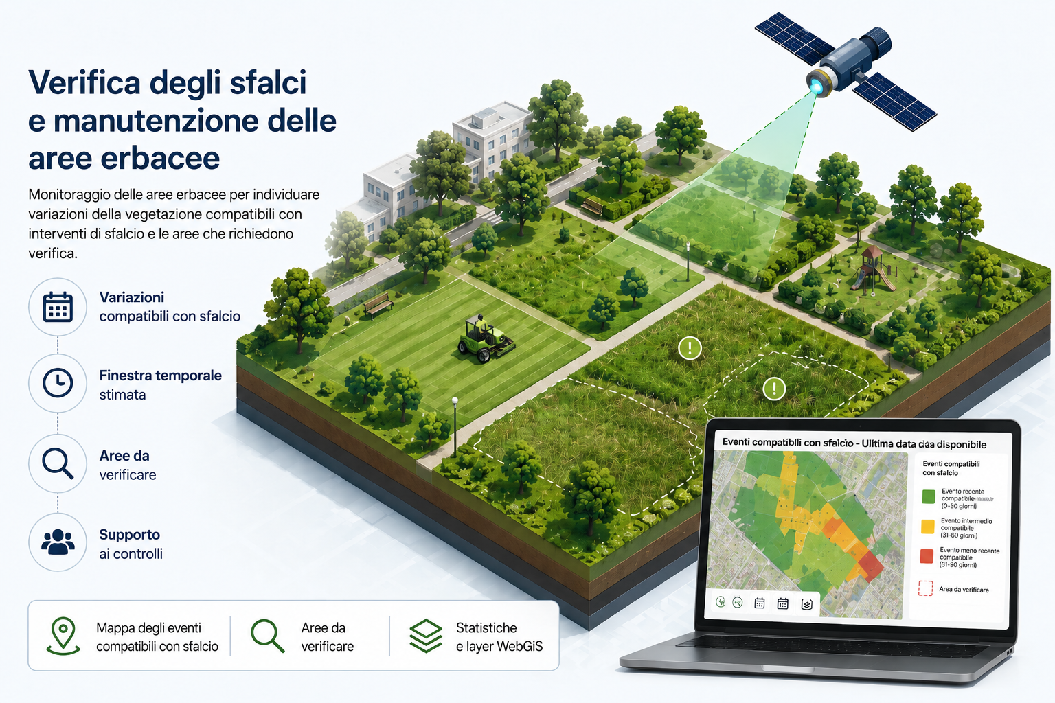
- Identification and assessment of areas requiring mowing, and management of green space maintenance work: It identifies areas where changes in vegetation are consistent with mowing or maintenance work. For each indicator, it can specify a likely time frame, the associated confidence level and the areas to be inspected.
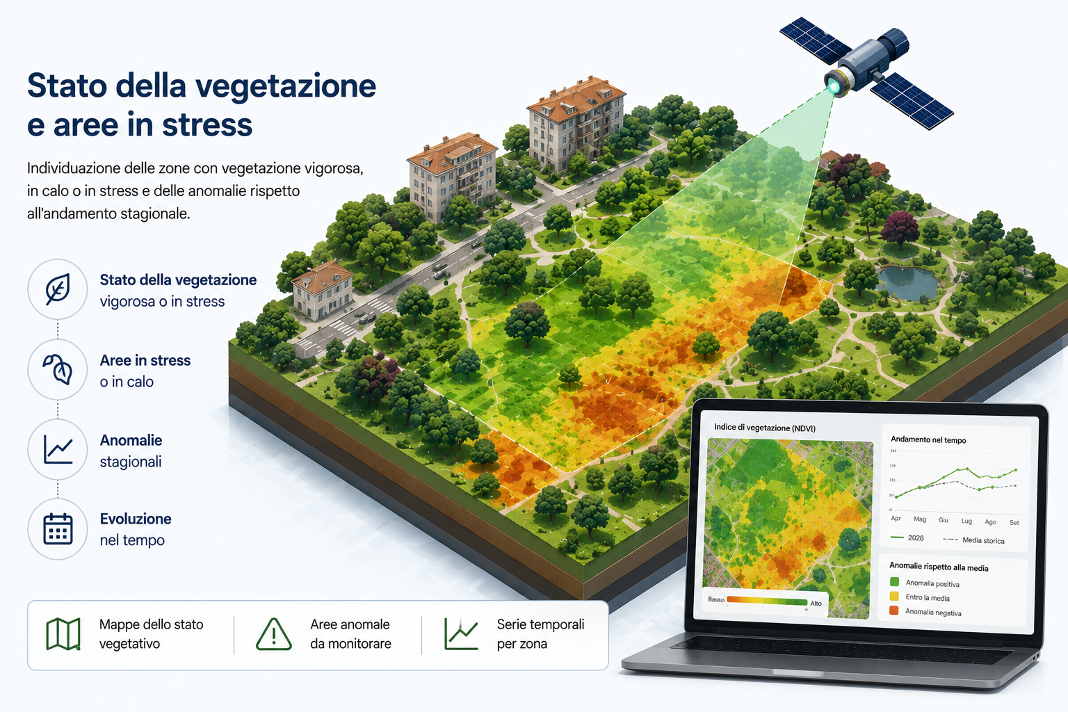
- Condition of vegetation and areas under stress: It tracks changes in vegetation and highlights areas of vigorous growth, areas in decline, and radiometric or phenological anomalies consistent with possible stress conditions, comparing these with expected seasonal trends and with previous years.
- Monitoring of woodlands and tree cover: observation of the distribution of tree vegetation and identification of losses, increases or persistent changes requiring further investigation.
From observations to audit priorities
During the periods when mowing is scheduled, a monthly update can help track changes in vegetation and identify areas requiring a more detailed assessment. At the end of the season, a summary report provides an overview of the overall changes in the monitored areas. The service can also be activated on request for specific areas.
Depending on the condition of the vegetation, the recommended frequency is fortnightly or monthly during the growing season and quarterly outside the growing season. Time series data make it possible to distinguish between occasional variations and persistent trends, and to identify areas where site visits should be scheduled or further information gathered.
In forested areas, a comparison of successive observations also makes it possible to identify persistent changes in tree cover. For Mountain municipalities, national park authorities and forestry managers, this information can serve as a common basis for planning further investigations and inspections.
The results may include maps showing variations compatible with mowing or maintenance, polygons of the areas to be surveyed, maps of vegetation vigour and anomalies, maps of tree cover and persistent changes, indicators by area, time series, statistics by municipality or areas and layers of information that can be integrated into the organisation’s GIS and WebGIS systems.
Support for on-the-ground inspections
Satellite data must be interpreted with care. A change in vegetation may be consistent with mowing, but does not in itself prove where and when the mowing took place. Similarly, an anomaly may indicate a possible state of stress without automatically identifying its cause. Further data or a field inspection may be required for a formal assessment.
For the local authority, the value of the service lies in its ability to monitor the local area in a consistent manner, to identify at an early stage those areas requiring attention, and to organise inspections, site visits and in-depth assessments of tree cover in a more targeted way.