Continuous development with NeMeA Sistemi: the new features of GeoPortal-X dedicated to the Fire Register and Building Zones
At NeMeA Sistemi, we have always worked alongside public authorities and organisations that manage complex local assets. Our aim is to offer innovative solutions that simplify processes and improve day-to-day efficiency.
In this context, the latest significant update concerns our platform Cloud-based WebGIS, GeoPortal-X: two new features, designed to meet the needs of urban planning, risk prevention and land registry analysis.
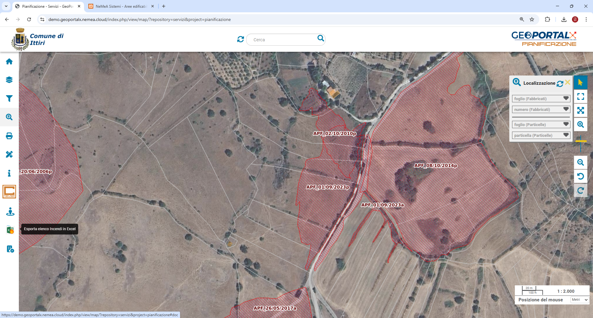
Fire Register: for effective prevention in accordance with the law
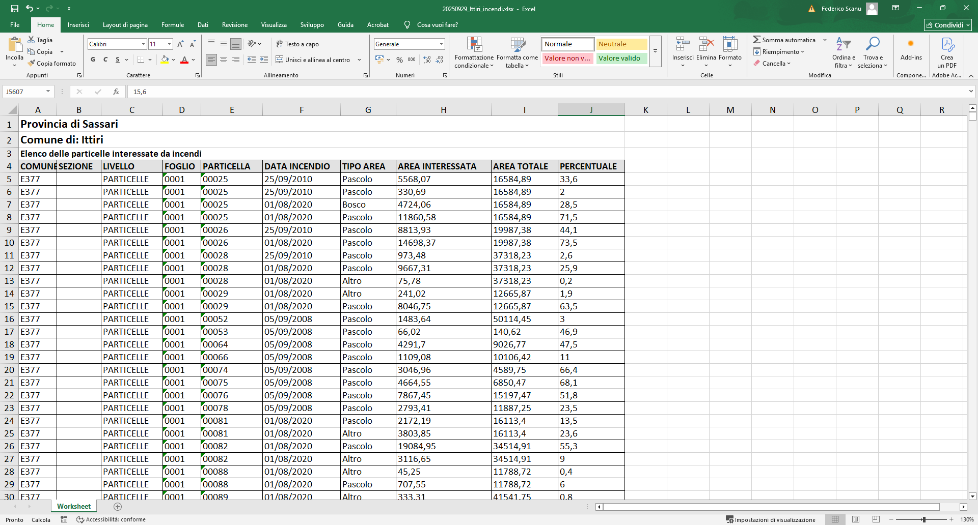
The new feature Fire Register It is a crucial tool for the monitoring of areas affected by fire. In accordance with Law 353/2000, this module ensures easy regulatory compliance and makes prevention and management more efficient, enabling you to:
- Automatically identify all plots of land within an area affected by fire.
- Integrate fire perimeters from regional geoportals with cadastral maps.
- Instantly identify the particles involved and generate detailed reports.
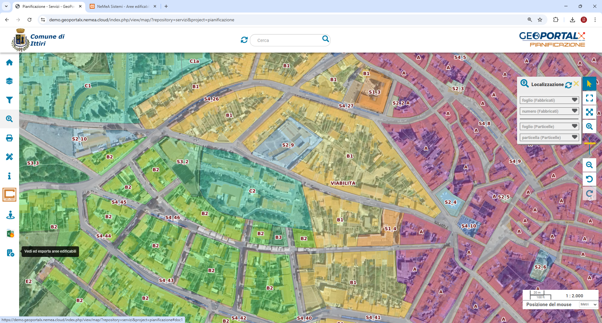
Development Zones: for precise town planning
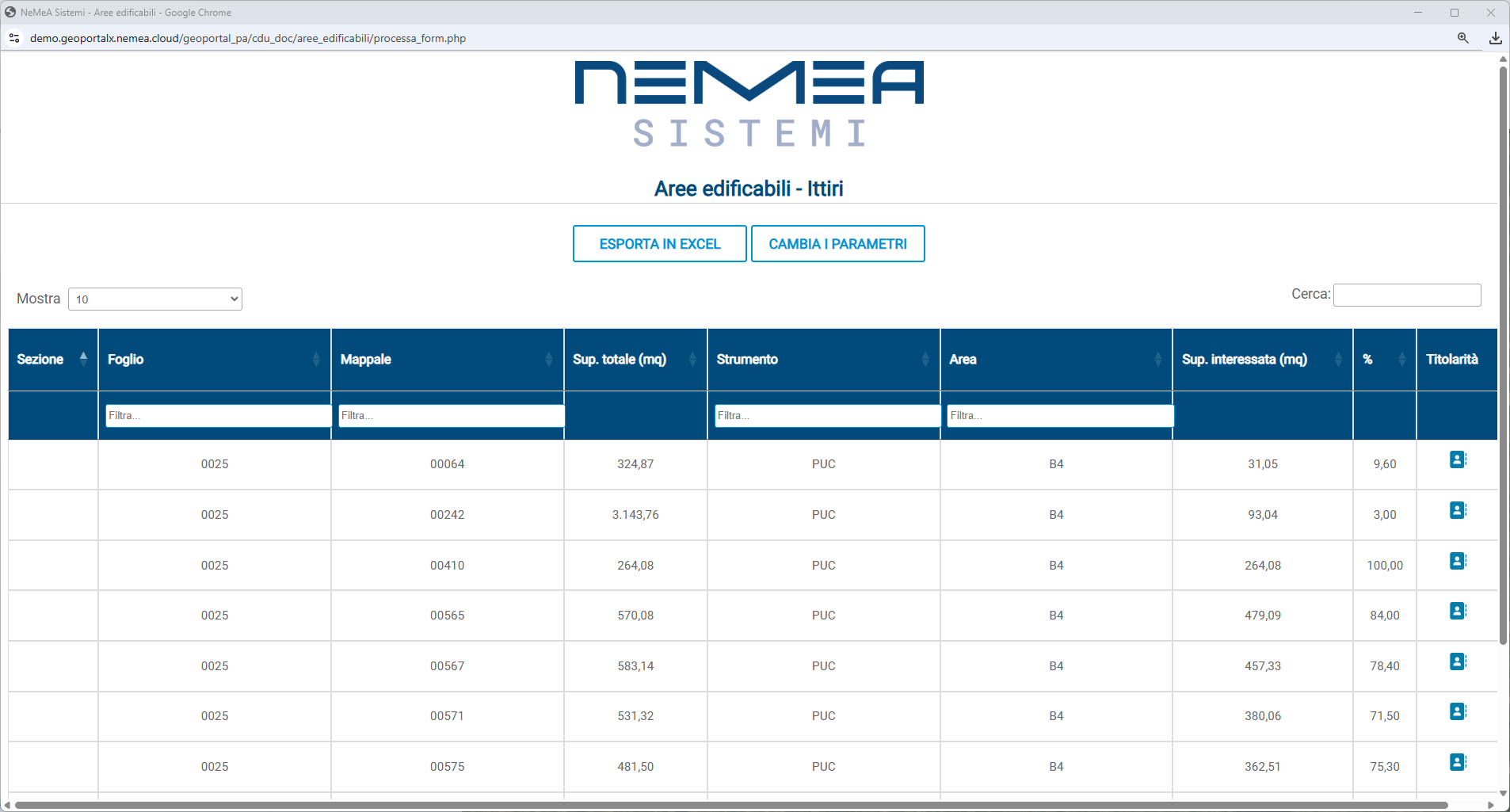
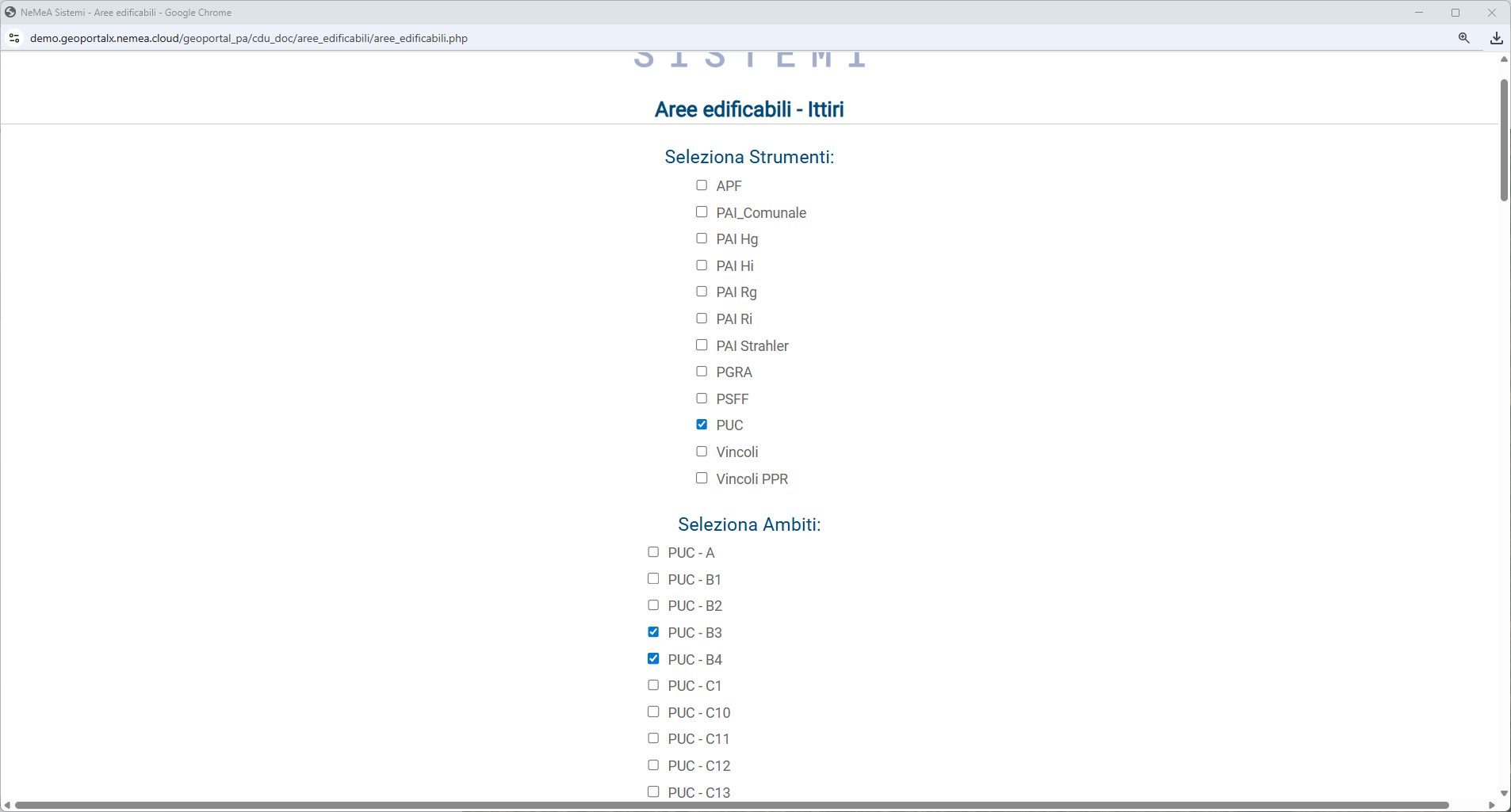
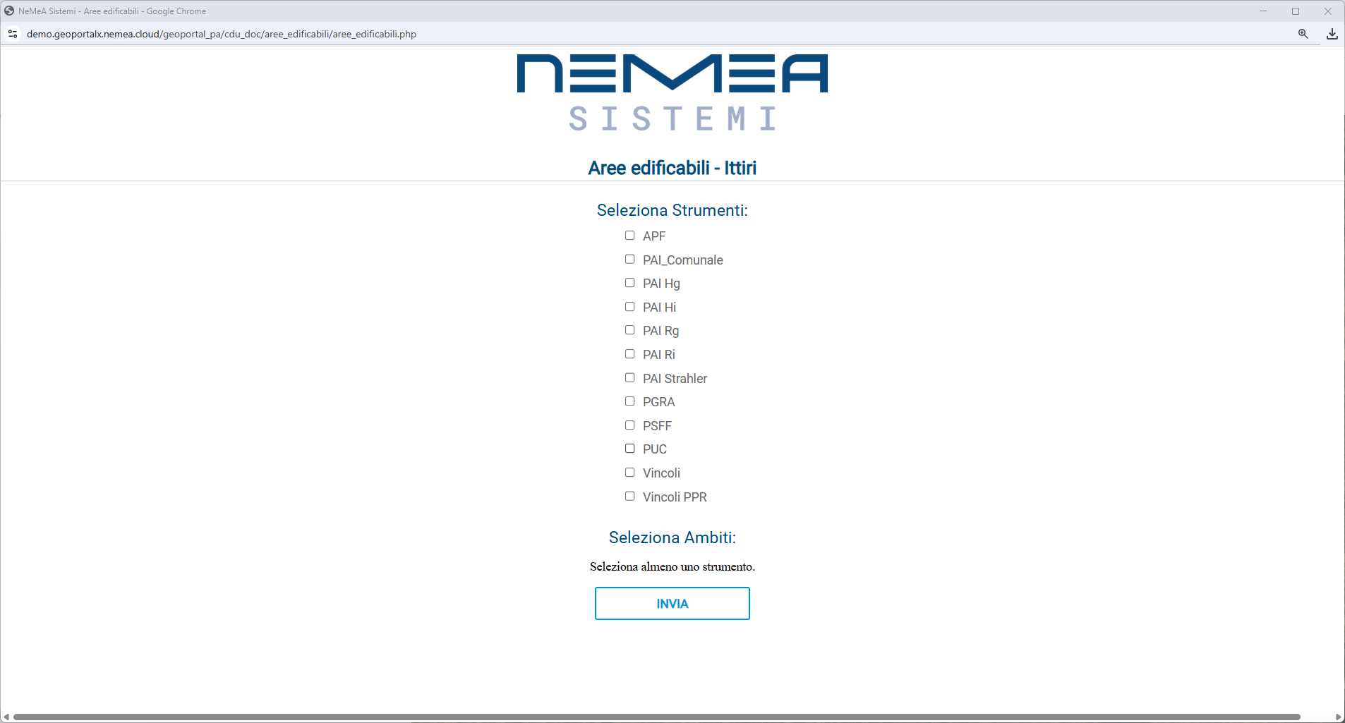
The ‘Buildable Areas’ feature is designed for those working in town planning and tax administration. This tool reduces manual errors and simplifies the management and verification of buildable areas, enabling users to:
- To identify building plots with precision.
- Automatically calculate building plots thanks to integration with Geoportal-X.
- View owners and generate custom reports.
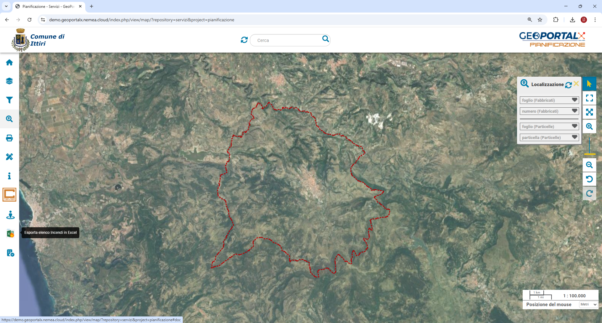
The new features reinforce GeoPortal-X’s position as a versatile and scalable platform, certified on the ACN Marketplace for national cybersecurity. It is not just a solution for viewing maps: it is a strategic tool that integrates customisable modules, open APIs and support for OGC standards, ensuring interoperability with existing systems and making work more agile, secure and efficient!