Digital place-name data: the evolution of NeMeA Sistemi for house numbering in the age of GIS systems
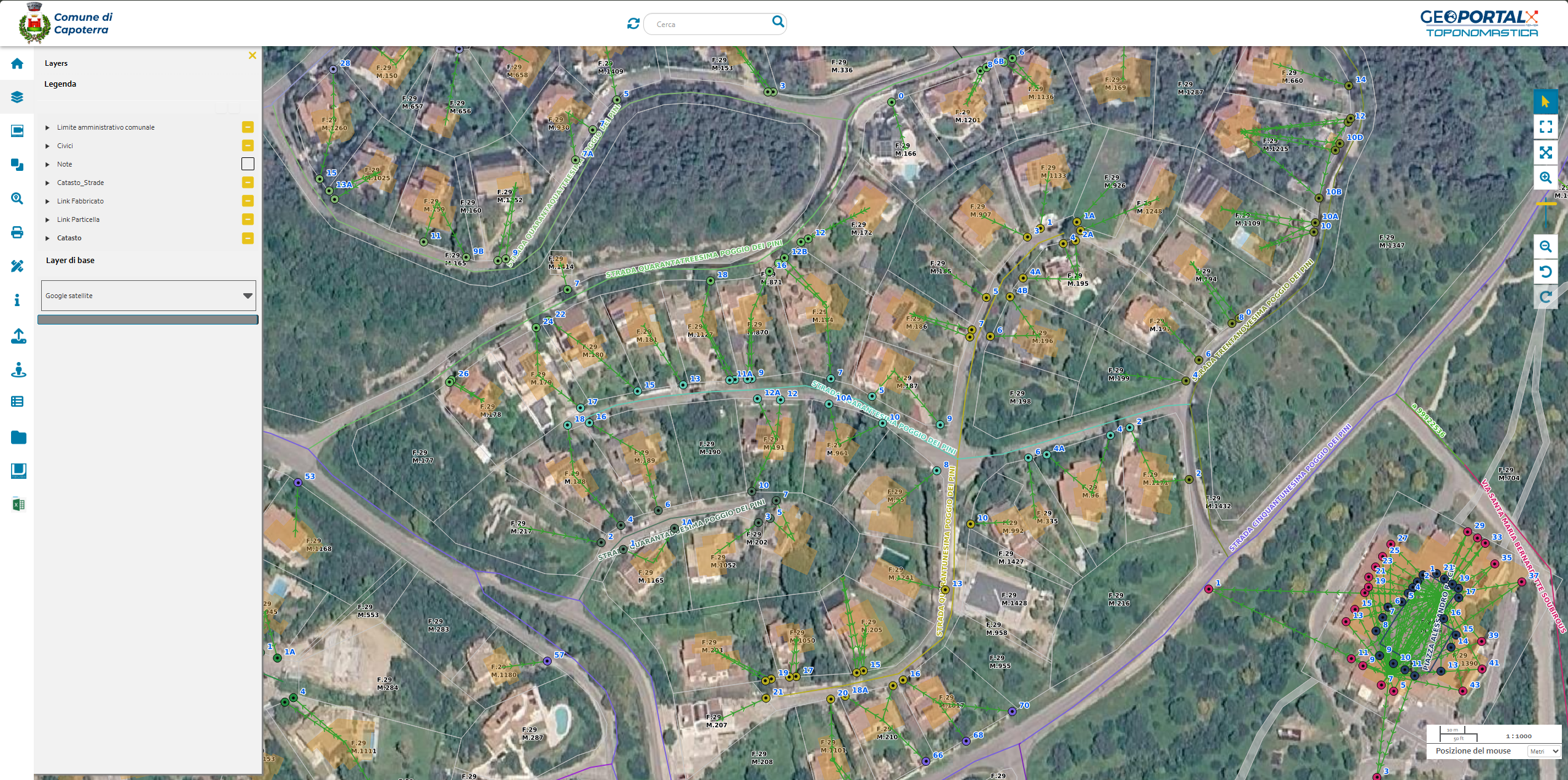
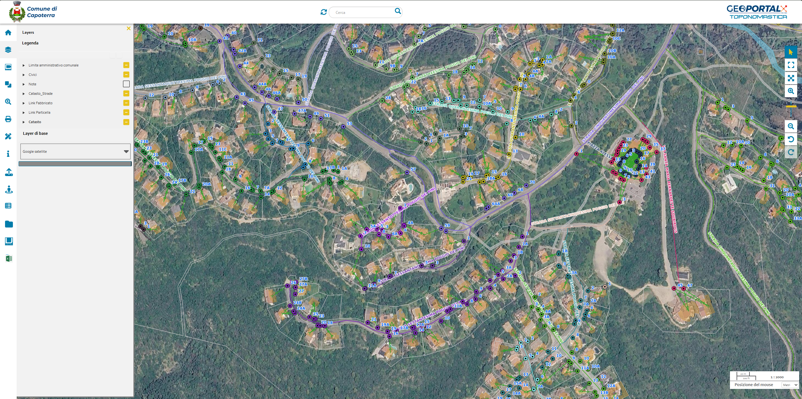
The efficient management of place names and house numbers is one of the cornerstones of the organisation of public services and for the municipal town planning. In a context where the accuracy of geographical data has become essential, theupdating of land registers requires technologically advanced tools capable of overcoming the fragmentation of traditional archives. With the aim of centralising and optimising these procedures, NeMeA Sistemi has integrated into the GeoPortal-X® suite the solution CIVICI, a system developed in WebGIS environment which redefines the operating procedures of the municipal registry and technical departments.
The platform was created to bridge the gap between on-the-ground monitoring and the local authority’s administrative procedures, enabling immediate synchronisation and native sharing of information flows across all relevant departments within the administration.
An architectural approach combining on-site surveying and back-office work
The system’s effectiveness lies in its dual optimisation: the infrastructure is inherently designed both for the collection and updating of data directly in the field, and for its subsequent validation and review by office-based staff. Through auser-friendly, intuitive interface, the GeoPortal-X® extension can dynamically map every single road access point, linking a comprehensive information sheet to each house number.
Georeferencing makes it possible to link a set of strategic attributes to each set of geographical coordinates:
- The official name of the road and its exact location on the map.
- Photographic documentation of the entrance, which helps to identify and visually locate the property.
- The direct linkage with the land registry data for the reference structure, ensuring alignment between the maps and the property registers.
From the toponymic study to compliance with the tax authorities.
The added value of the NeMeA solution lies in a comprehensive approach that goes beyond the mere provision of technology. The service is, in fact, designed as a comprehensive operational support service for the public sector, built upon preliminary territorial assessment and auditing activities.
The specialists support public authorities in analysing and a detailed study of the municipal street directory, identifying historical anomalies in the numbering system, gaps in the mapping or inconsistencies in the allocation of house numbers. Based on the findings, a technical proposal is drawn up for a new and correct numbering system, applied consistently throughout both urban and rural areas.
The final step in the process ensures regulatory compliance and maximum operational simplification: CIVICI’s structure allows for the export andsubmission of updated street directory and numbering data directly to the Revenue Agency’s portal, via an integrated API connection that can be activated with a single click. This step ensures perfect alignment between the local authority’s information systems and the State’s tax databases, guaranteeing the local authority full control and a definitive photographic and geographical map of all access points within its territory.