
GeoPortal-X
An advanced WebGIS for understanding, managing and promoting the local area.
GeoPortal-X It is a cloud-based WebGIS platform innovative, designed by NeMeA Sistemi to meet the needs of public sector organisations, utility companies and private individuals. Found in the ACN Marketplace (National Cybersecurity Agency), this versatile solution is perfectly suited to a range of usage scenarios thanks to the option to activate specific extensions depending on the services purchased.
GeoPortal-X it is the WebGIS platform developed by NeMeA Sistemi for Public Sector Organisations, Utility Companies and Private Individuals. Based on open-source and cloud technologies high-performance, enables you to publish and analyse geospatial data in a simple, quick and customisable way.
From urban planning to civil protection, from IoT integration to drones Hydra® By drawing on satellite data, GeoPortal-X makes all spatial information instantly accessible, offering an intuitive and functional user experience.
- ACN-certified SaaS
- Access via a browser without plugins
- User profiling
- Cloud-based editing
- Integration with Google Maps and Street View
This versatile solution, available on the Marketplace ACN (National Cybersecurity Agency), is perfectly suited to a range of use cases thanks to the option to activate specific extensions depending on the services purchased.
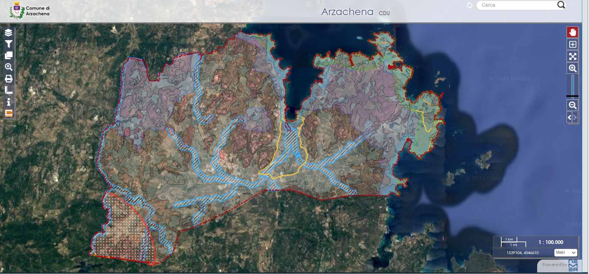
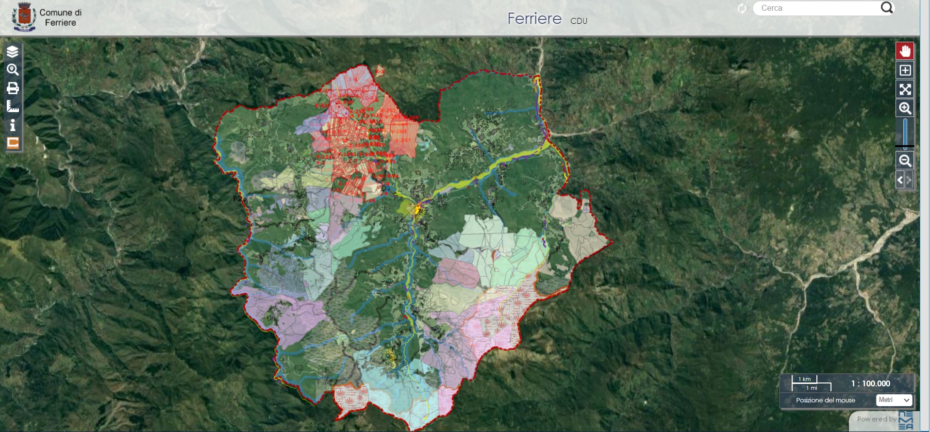
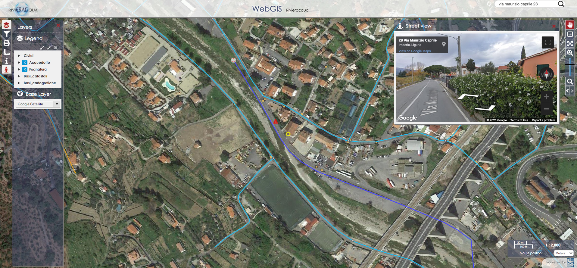
A simple and productive experience
GeoPortal-X It has been developed to ensure a simple and intuitive user experience, significantly improving operators’ productivity and simplifying the management of cartographic data. The Public Authorities will be able to use the platform to manage various types of data centrally and efficiently, whilst citizens and self-employed professionals will be able to access the maps free of charge directly from the organisation’s official website, without any technical complications.
Vertical applications for comprehensive management
The platform offers a wide range of vertical applications to meet specific needs:
- Land-use planning (planning permission certificates)
- Civic rights
- Place names (street names and house numbers)
- Urban property units
- Environment (management of green spaces)
- Cemeteries
- Unauthorised building works
- Waste
- Public works
- Property portfolio
- Industrial consortia
- Optical fibre
- Water supply and sewerage
- Medium and low voltage
- Port authorities
- Decision Support System
- Marine protected areas and parks
- Civil Protection
- Car parks
- GeoSUE
- GeoMELA
Personalised access options
Once the system has been activated, there are two ways to use it:
- Restricted access: using their personal login details (username and password), the staff of the organisation They can make use of bespoke vertical applications designed to meet a range of operational needs.
- public access: enables citizens and professionals to freely access non-sensitive cartographic data, whilst ensuring the security of confidential information.
Users can access the platform with a single click via a link available on the official website or the company’s web page.
Technical and operational specifications
GeoPortal-X It stands out for its advanced technical features and for the operational support Offered:
- Cloud-based map acquisition and management: simplifies data storage and access.
- user profiling and role definition: ensures controlled and secure access.
- Enabling vertical extensions: Advanced customisation to suit every operational requirement.
- internal and external publication: ensures integrated and transparent data management.
- operational training: Comprehensive support to ensure you get the most out of the platform.
The smart choice for the digital future
Thanks to its modular structure and ease of use, GeoPortal-X is not just a platform, but a strategic solution for improving productivity, optimising processes and ensuring innovative and transparent management of spatial data and corporate assets.
Are you interested in GeoPortal-X?
Request further information or a demo by sending an email to info@nemeasistemi.com or by filling in the form on the right.p
Contact us
Send an email to INFO@NEMEASISTEMI.COM or fill in the form by clicking here.
Sign up for our newsletter
NeMeA Sistemi We are delighted to offer this additional service to everyone – customers and non-customers alike – designed to keep you up to date with the latest news regarding our Research and Development (R&D) projects, our services and new applications.