4D mapping: the SENSE-MAP project by theNeMeA Sistemi, for monitoring complex areas
It has been launched SENSE-MAP (SENSor-based monitoring of ComplEx Areas and Advanced MAPping of Coastline, Environment, and Urban Areas), a research and development project a high-tech project funded under the National Recovery and Resilience Plan (PNRR) under the remit of the MUR (Mission 4).
The initiative, which arose from a collaboration between NeMeA and theUniversity of Naples Federico II (UNINA), introduces an innovative system designed for advanced mapping and multi-sensor monitoring of complex areas. The primary aim is to improve the ability to analyse and prevent risks on environmental ecosystems, coastal areas, urban systems and critical infrastructure.
Technology Focus: from SAR interferometry to the early warning index
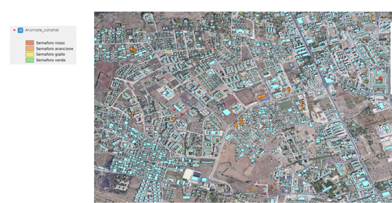
At the heart of SENSE-MAP lies the iIntegration of multi-source and multi-scale data. The project combines information from Earth observation satellites with data collected by ground-based sensors, ensuring high spatial resolution and very frequent updates. The main objective is to develop a early warning index which will be crucial for multi-hazard assessment, enabling the identification of urbanised coastal areas that are most vulnerable to geological phenomena such as erosion, flooding, landslides and land subsidence. At an operational level, the platform will utilise advanced techniques such as theMulti-temporal SAR interferometry (MT-InSAR) to detect deformation trends and monitor environmental changes. The results, displayed on a cloud-based GIS platform, will enable operators to take targeted action.
The use of these tools will enable operators to:
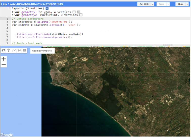
- To map the coastline accurately, whilst assessing the effects of erosion on infrastructure.
- Prioritise interventions in critical areas, whilst optimising on-site inspection procedures.
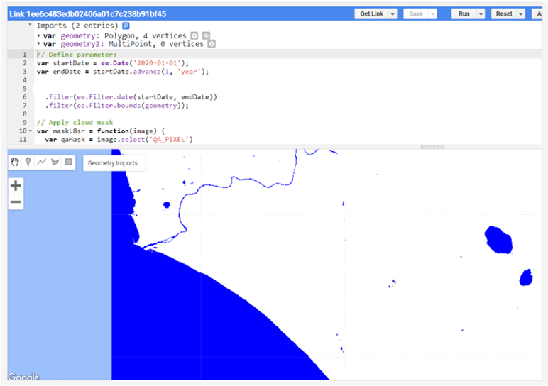
- Use satellite indices (NDWI, NDMI, NDVI) in combination with change detection algorithms for effective environmental monitoring.
SENSE-MAP combines advanced expertise in satellite monitoring, urban resilience assessment and ICT management, with the ultimate aim of transforming risk management into a more proactive and responsive process.
The project will be presented next Tuesday 18 November, at the headquarters of theThe Order of Engineers of the Province of Rome.