Remote sensing for coastal monitoring: a seminar in Rome on the SENSE-MAP project by NeMeA Sistemi
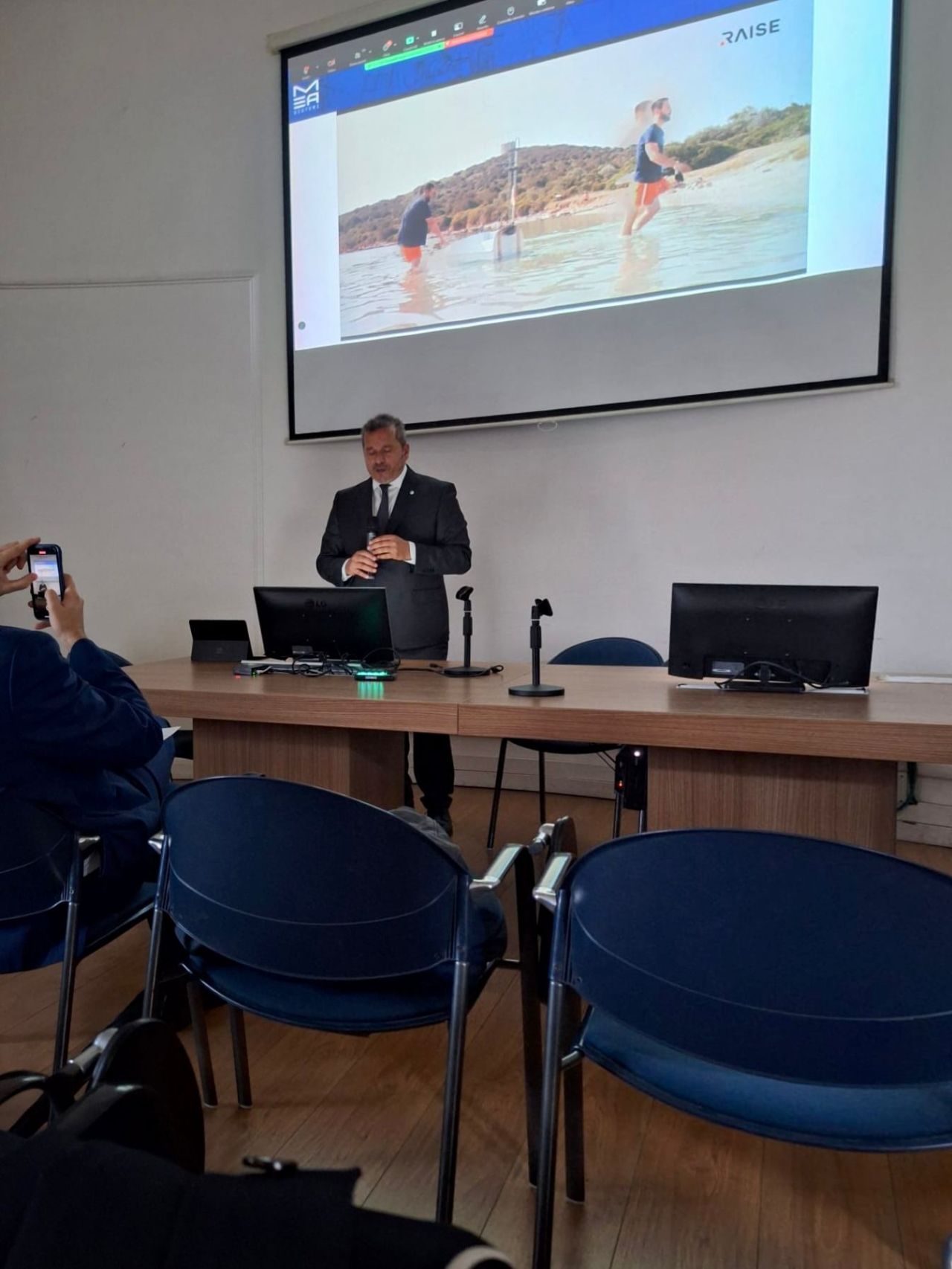
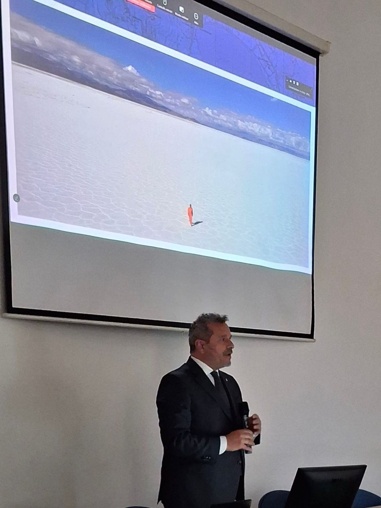
The technical seminar was held to great acclaim “New frontiers in the monitoring and protection of complex coastal areas”, promoted and organised by theThe Order of Engineers of the Province of Rome together with the FOIR Foundation, at the headquarters in Piazza della Repubblica. The event, which took place on 18 November, provided an up-to-date overview of the latest innovations, potential and applications of the satellite remote sensing and multi-source technologies: drones and instrumented buoys.
The programme provided an opportunity for strategic development for professionals, technicians and practitioners in the environmental and maritime sector, focusing on the integration of innovative data for the coastal risk prevention, sustainable coastal management and the assessment of the effectiveness of conservation measures.
Following the opening remarks by the President of the Association, Mr Massimo Cerri, and other representatives, the discussion focused on the current state of the art and future prospects for satellite monitoring of coastal areas.
The event featured contributions from leading speakers from the worlds of research and industry:
- Italian Space Agency (ASI): Maria Virelli, Technologist and Head of the COSMO-SkyMed Mission for the Earth Observation Office, outlined the Agency’s programmes and initiatives in support of coastal monitoring.
- NeMeA Sistemi: Michele Boella, CEO of NeMeA Sistemi, presented ‘Innovative technologies and use cases for coastal monitoring’, emphasising that collaboration between research and technology is essential for the integration of satellite data and innovative methodologies.
The SENSE-MAP project: a multi-risk approach
A highlight of great technical interest was the presentation of the SENSE-MAP research project (SENSor-based monitoring of Complex Areas and Advanced MAPping of Coastlines, the Environment and Urban Areas).
This technologically advanced initiative, funded under the PNRR (Mission 4) and overseen by the MUR, arose from a collaboration between NeMeA Sistemi and theUniversity of Naples Federico II (UNINA). The primary objective of SENSE-MAP is to improve analytical capabilities and prevention of risks to environmental ecosystems, coastal areas, urban areas and critical infrastructure.
The project, presented by, amongst others, Dr Ilaria Pennino – NeMeA Sistemi – Prof. Andrea Benedetto and Valerio Gagliardi, MEng – Roma Tre University – draws on the 4D mapping and on themulti-source, multi-scale data integration, by combining theSatellite-based Earth observation with ground-based sensors. Advanced instruments such as theMulti-temporal SAR interferometry (MT-InSAR) are used to detect deformation trends, with a view to developing an innovative early-warning index for multi-risk assessment (erosion, flooding, landslides, subsidence), with the results displayed on a cloud-based GIS platform (Information provided by the user).
The seminar concluded with a talk by Roberto Minerdo of theONTM – National Observatory for the Protection of the Sea on the role of coastal and marine protection, followed by a technical round-table discussion and a concluding debate which brought together practical experiences and future prospects.