Guardians of the Mediterranean: NeMeA Sistemi’s technology supporting Marine Protected Areas
Protecting the sea It has never been an easy task, especially nowadays. For the Marine Protected Areas, the daily challenge is no longer simply to monitor coastlines and seabeds, but to interpret a vast amount of fragmented data. It is here that technology ceases to be a cold collection of circuits and becomes an ally of biodiversity, an extension of the human gaze beneath the water’s surface, transforming environmental complexity into concrete conservation actions.
With this aim in mind, NeMeA Sistemi has structured the a dedicated service for AMP support enclosed within a an integrated ecosystem of hardware and software tools, presented in the new company catalogue as a comprehensive hi-tech suite for the environmental monitoring.
The nerve centre of the ecosystem
The central pillar of the entire architecture is GeoPortal-X®, a platform delivered via ACN-certified cloud infrastructure. The software acts as a centralised hub and the common thread linking all sources of information: it is here that heterogeneous data streams from field sensors, site surveys and satellite constellations converge within a single digital environment, transforming the complexity of spatial data into a practical and usable operational tool for managing bodies.
Marine instruments: from hardware to the Digital Twin
Environmental data collection and predictive analysis focus on a range of underwater sensors, continuous monitoring stations and advanced digital models:
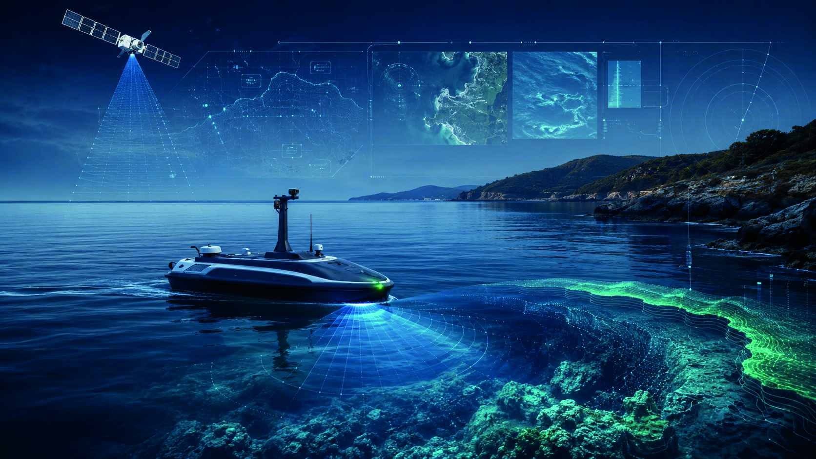
- HYDRA® aquatic drone: a utility model fitted with a high-precision GNSS receiver, advanced sonar and an HD underwater camera. The autonomous USV drone is designed to carry out bathymetric surveys and for the mapping of Posidonia oceanica up to 3 km from the coastline.
- ROV (BlueROV with Heavy Retrofit Kit): a tethered vehicle capable of operating at depths of up to 100 metres to carry out high-quality visual inspections carried out directly on the seabed, enabling visual monitoring of habitats, seabeds and submerged structures.
- IoT buoys: floating monitoring stations for round-the-clock monitoring. They are fitted with self-cleaning sensors and the measurement of the chemical and physical parameters of water, including: temperature, pH, dissolved oxygen and turbidity. Data is transmitted in real time via 4G/5G networks or a satellite link.
- Digital Twin (Digital Twin): one of the most advanced scientific tools in the ecosystem. It integrates historical and real-time data from buoys, sensors and surveys into a single virtual model, producing a highly accurate replica of the observed ecosystem. The system applies simulation models that enable anticipate environmental challenges, to analyse the development of these phenomena and plan preventative maintenance on a predictive basis.
Earth Observation from Space
As we climb higher, technology 3xA® oversees the macroscopic dimension through thesatellite observation. The system combines RADAR/SAR images and multispectral optical data, processing them via Deep learning algorithms to analyse water quality, coastal dynamics and the progression of coastal erosion. This multi-source integration enables mapping at an extremely high temporal resolution, allowing experts to monitor morphological changes in the territory, even following extreme weather and sea events.
Security and the local area
Rounding off the picture are the software modules dedicated to operational management, security and external communication:
- VideoStream: software designed for integrated video surveillance and to the coastal security monitoring. The application enables real-time monitoring of critical areas and the archiving of video streams, making it easier to identify potential offences or situations posing a risk to the environment.
- XMapp: an application designed for the institutional communication and the management of alert messaging for the general public and professionals. The platform enables thegeolocation-based sending of notifications and weather reports sent directly to users’ mobile devices, thereby optimising the management of emergencies in the area.
- Dashboard: the analytical dashboard that aggregates and standardises data collected from all sources (hardware, software and satellites) to support timely decision-making. Through graphs and real-time key performance indicators (KPIs), it provides managers with a clear overview of the protected area’s general state of health.
This technological ecosystem reflects a rigorous methodological approach, ensuring the effective protection of marine heritage, which can no longer be achieved without a scientific, quantifiable and in-depth understanding of the area.