Planning Permission Certificates in Calabria: the Feroleto della Chiesa model, as set out by NeMeA Sistemi
The expansion and growing interest in the software solutions and services offered by NeMeA Sistemi across Calabria continue. A recent and significant example of this success comes from the Municipality of Feroleto della Chiesa (RC): an administration that has undertaken a path to modernisation by placing your trust in NeMeA and choosing theautomation of the issuing of Urban Planning Certificates (CDU).
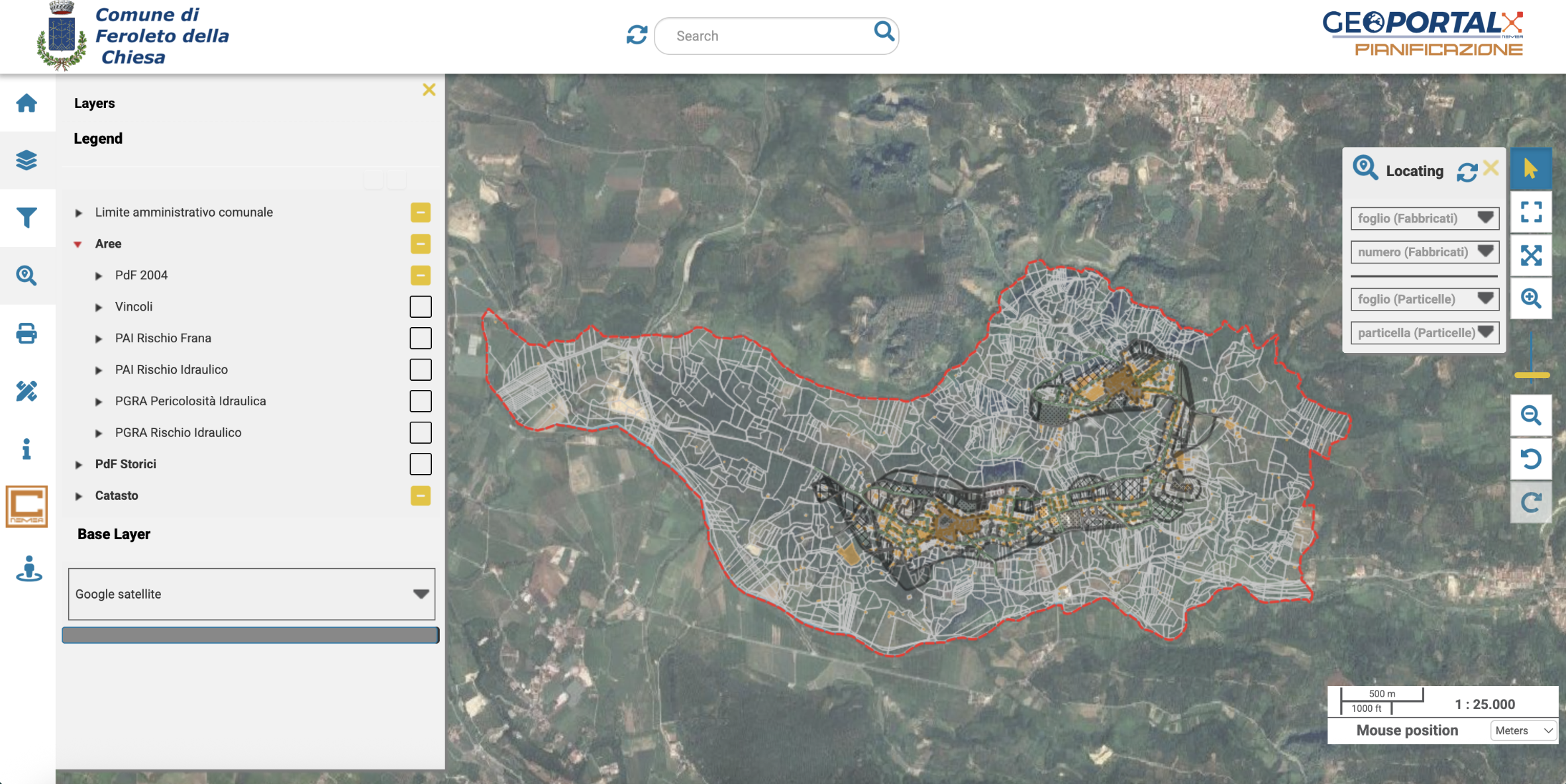
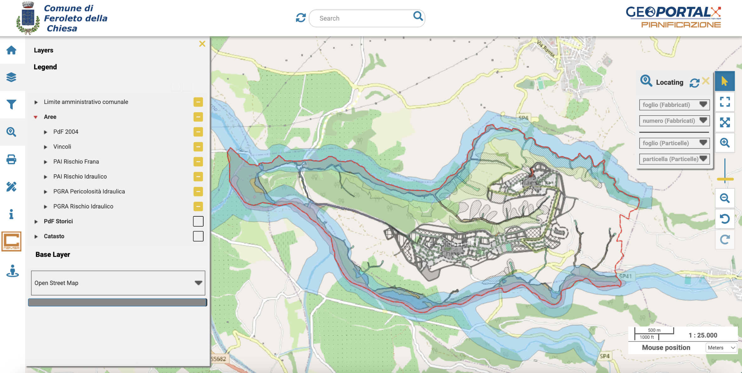
This innovation enables the local authority to digitise and optimise the entire process of issuing certificates via theGeoPortal-X CDU extension, overcoming the complexities associated with the manual management of the urban mapping. Through the platform, the Authority can now significantly speed up procedures, improve data accuracy and simplify access to town planning information for members of the public and professionals. The system allows the land registry database to be overlaid onto Google Maps and the town planning tool to identify anomalies and buildable areas, whilst integrating alphanumeric data from Sister to view and verify the urban property units associated with each building.
A strategic partnership
In the specific case of the municipality of Feroleto, the transformation process presented a highly complex technical challenge, requiring, first and foremost, the complete digitisation of the entire collection of urban and historical maps, covering the period from 1971 to the present day.
NeMeA Sistemi It seized the opportunity by working in close collaboration with the local council to achieve the set objective. Thanks to this collaboration and joint effort, the organisation has taken a crucial step towards the digitalisation of its administration, achieving a significant simplification of internal processes and a consequent improvement in the services provided to the public.